Project 1
The internet is one of the most disruptive technologies there is. This new medium makes information more easily accessible to the average person than ever before. Individual people can also become content creators, sharing information with others in preexisting or newly emerging communities with little or no technical knowledge.
Wireless networks are even more disruptive. They allow people to connect to the internet with laptops and other wireless devices. Suddenly, information gathering is increasingly portable.
But wireless networks don't just let their owners connect to the internet. Unsecured wireless networks can easily be used by neighbors or people passing by. Even secured networks can be easily hacked in about 10 minutes if packets of information are being transported over them. While using wireless networks (secured or unsecured) to transmit information is illegal without the owner's permission, it is easy to do and hard to prosecute.
I decided to focus on war driving for my project. War driving is the act of looking for and using wireless networks while on the go. The idea is to get from place A to place B with as little downtime as possible. Because it is illegal to transmit over wireless networks uninvited, I chose to only look at the strength of the signals along the way. (It is, as best I can discern, legal to connect to networks as long as you don't send information. But I chose not to walk that line.)
This war driving trip took place on Sunday, February 10, 2008 during midday. The excursion lasted from 11:49 to 12:09. The idea was to try to find networks that we could (potentially) connect to during our entire route.
Supplies
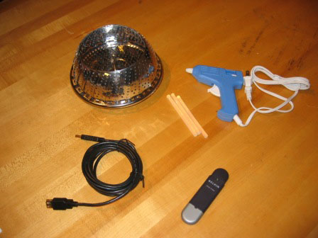
I decided to build a device to help me detect wireless signals. It helped me detect networks further away-- allowing me to get stronger signal from those hundreds more feet away.
These are the supplies that I used in the device-- a steamer, a USB cable, a glue gun and glue sticks, and a USB wireless card.
Building
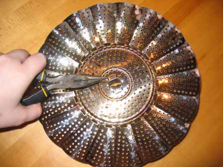
First, I widened the hole in the bottom of the steamer. It needed to be wide enough that the end of the USB cord could fit through it.
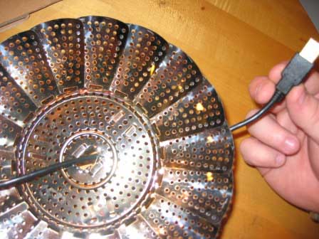
I threaded the USB cord through the hole in the steamer.
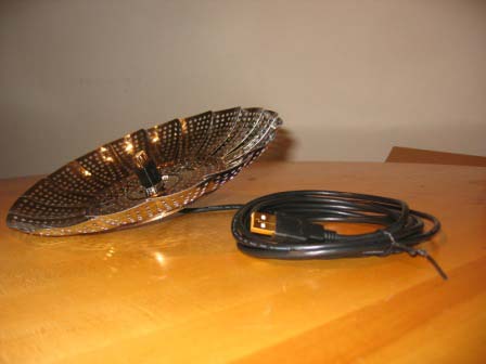
I made sure that the end of the cable fit securely in the hole.
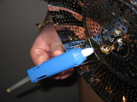
I used the glue gun to secure the cord to the steamer.
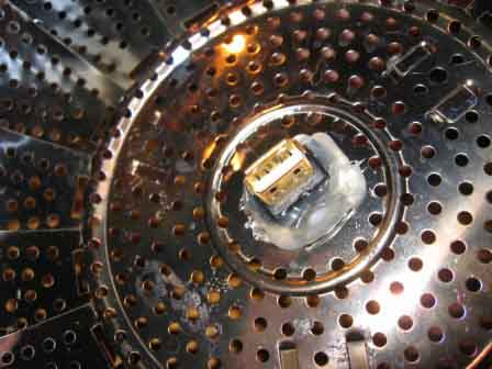
Here is a close up of the cable glued into the steamer.
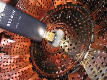
The USB wireless device locks into the cord as such.
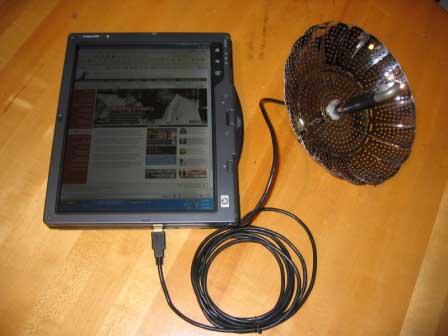
The device plugs into my tablet PC here. I ended up having to use my boyfriend's tablet because mine has a Centrino chip and I couldn't figure out how to configure the wireless without using the built in wireless card.
Campaign
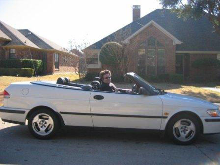
Here is my trusty war driving "tank" and driver.
Here is an "as the bird flies" map of the route that I decided to take. I started at Dean Keeton and San Jacinto and decided to set my ending point at the Triangle mixed use development where Lamar and Guadalupe intersect just north of 45th Street.
Map
The final product of the war driving project was a map, containing all the information that I gathered.
See Full Map Customized for Disruptive Technologies Class, Project 1. This links to an outside web page because it was the deliverable portion of my project. (The link is necessary because the Google My Maps application will only list up to 100 elements--like shading areas that I used to indicate my locations each minute and placemarks with photos of locations and indications of the strength of wireless signals along the route--on each page. My map has about 125; in order to see all of them, viewers must switch between the two pages.)
Each minute of the journey is grouped in colored areas on the map.
Camera icons indicate photos.
Other place markers indicate strength and type of connections. Green markers reflect places unsecured wireless connections with 3-5 bars. Yellow place markers indicate weak unsecured signals. Red markers show places where only secured networks were available.